Amy Property
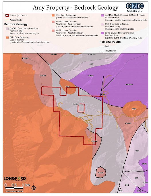
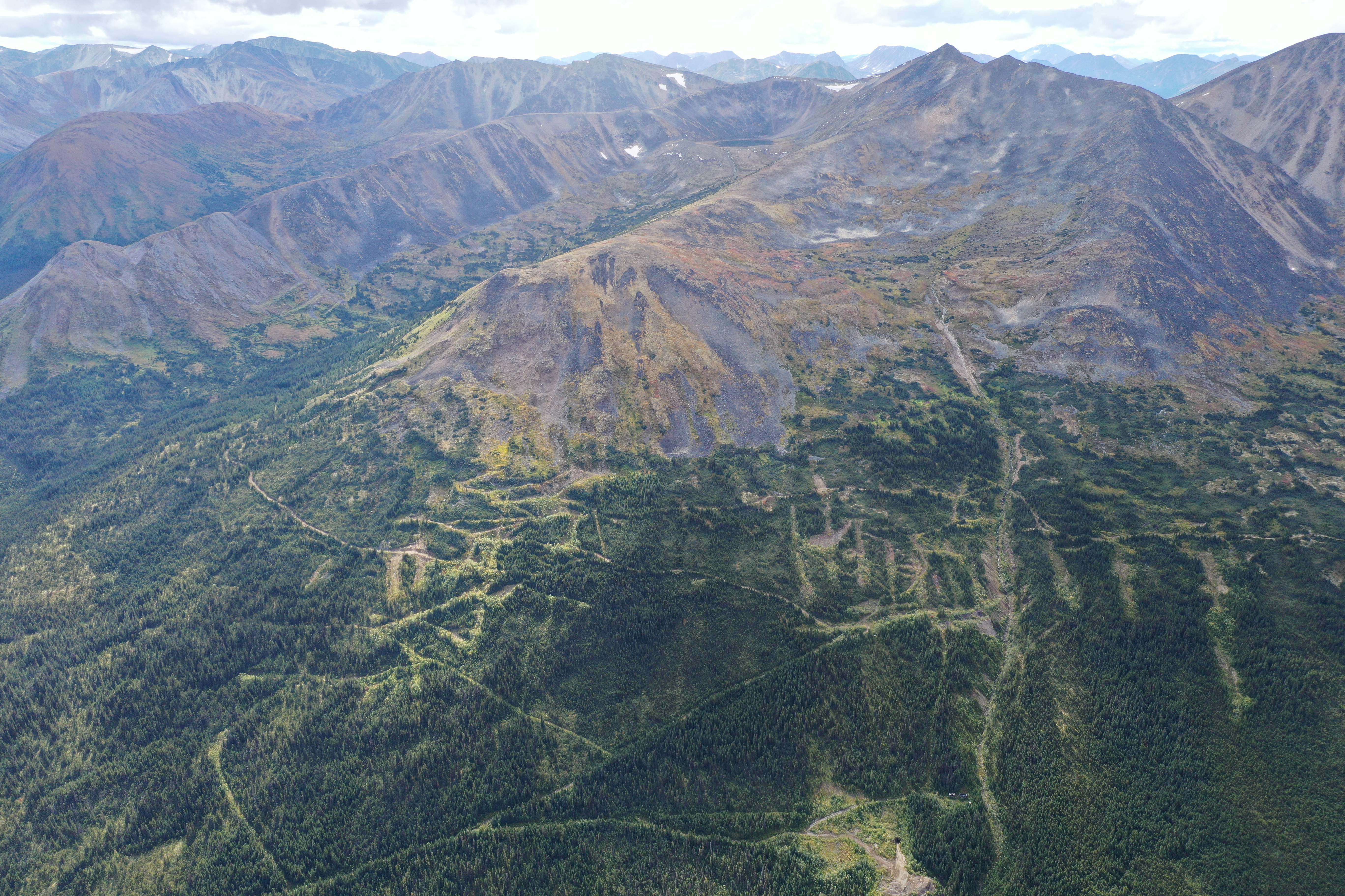
The road accessible Amy Property lies 8 kilometers to the west of the Silvertip Mine complex. The Amy claims comprising of 16 mineral tenures (approximately 908.4 hectares) cover part of the Cassiar Batholith, a satellite plug and surrounding calcareous and non-calcareous sediments which in this area is a multikilometer extension of the same geological units that are mineralized in our Silver Hart Property. This highly prospective target stratigraphy extends southwards from our Rancheria South claims and transects the entire Amy claim block that is contiguous with the Rancheria South claims.
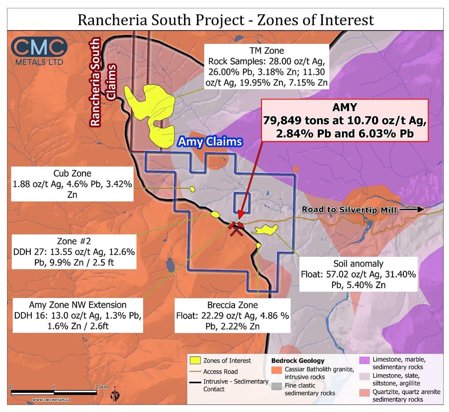
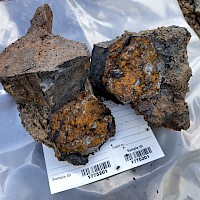
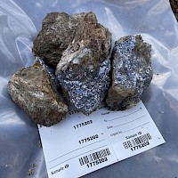
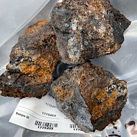
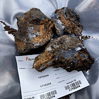
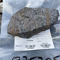
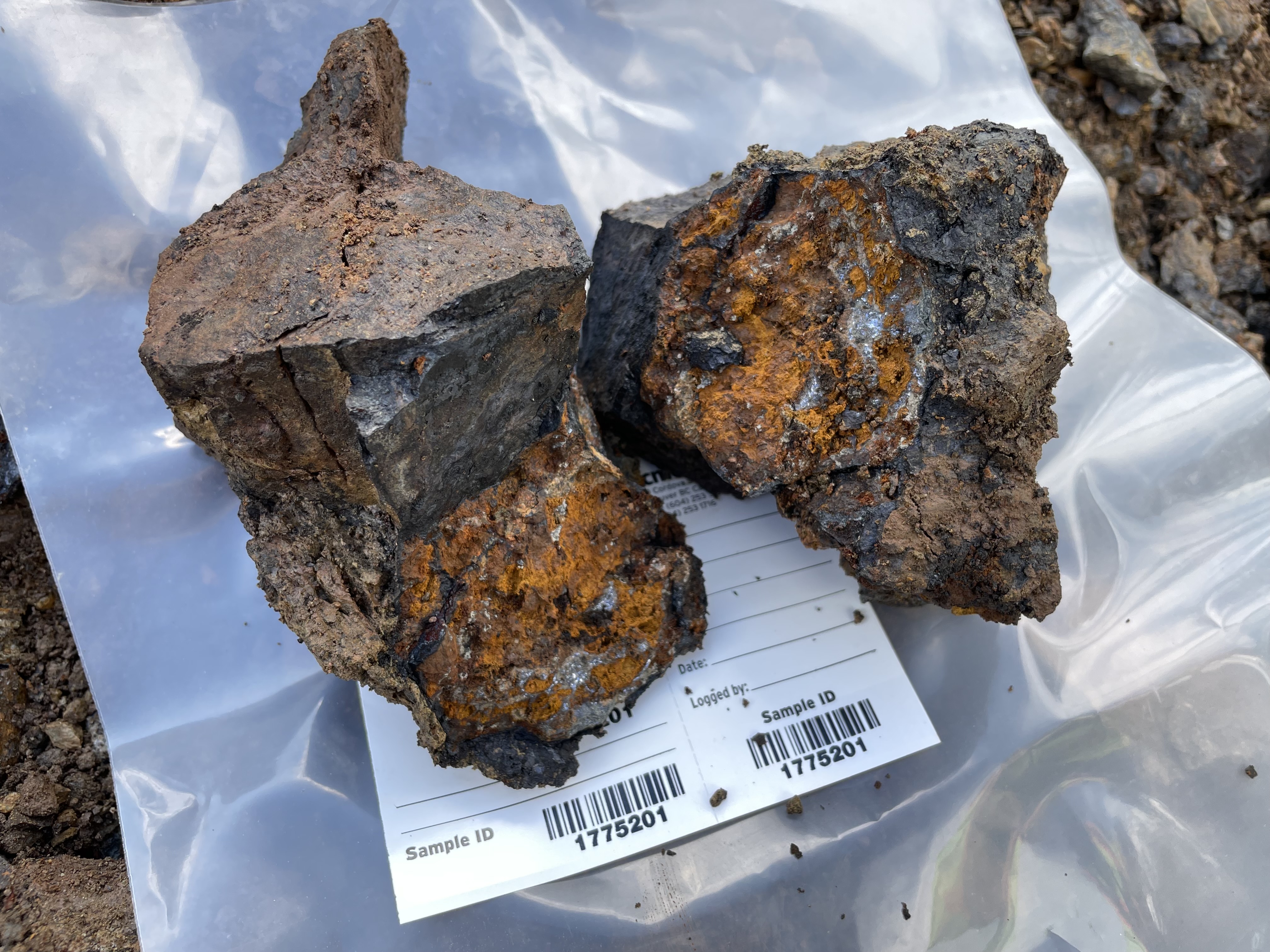
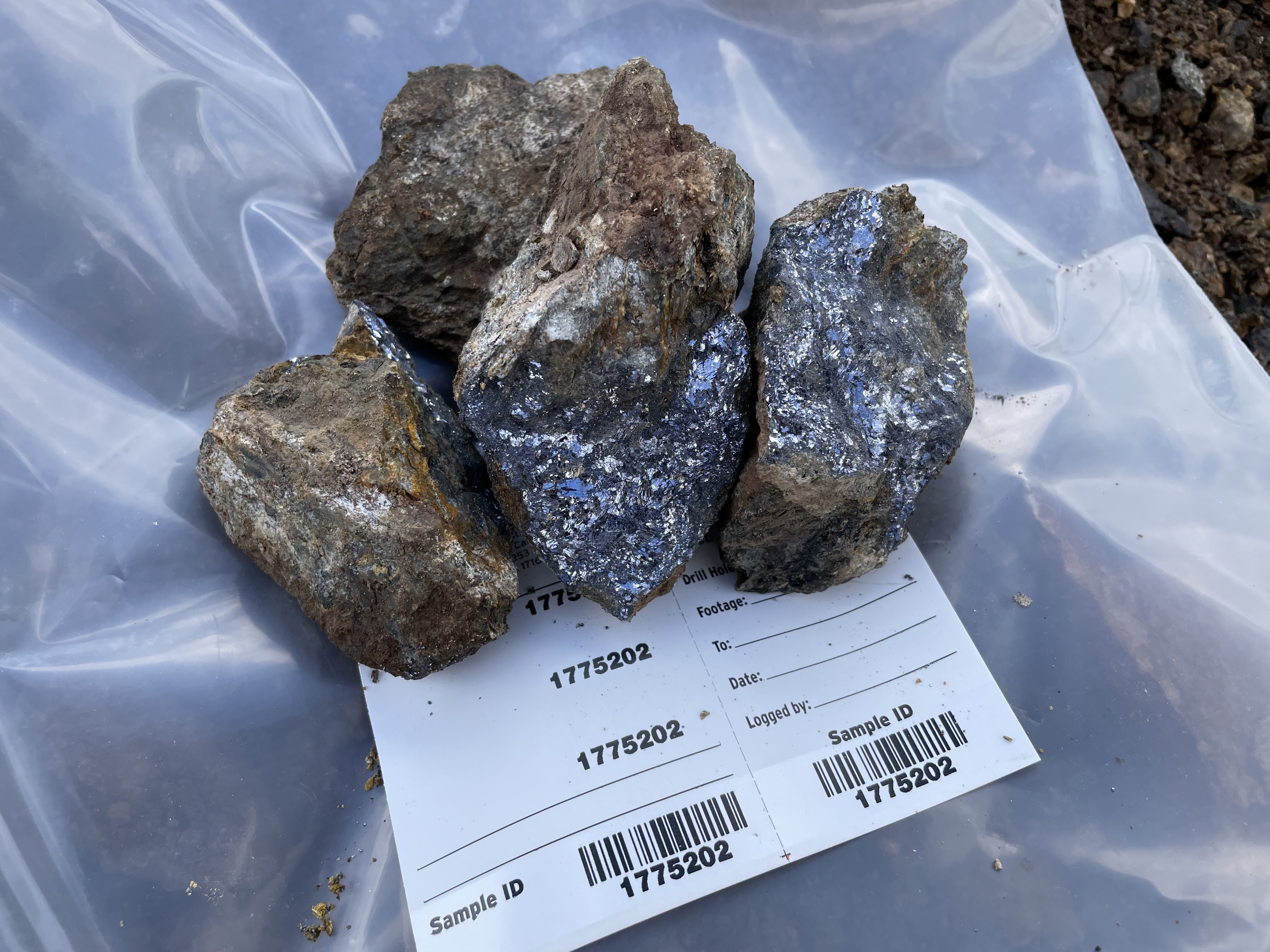
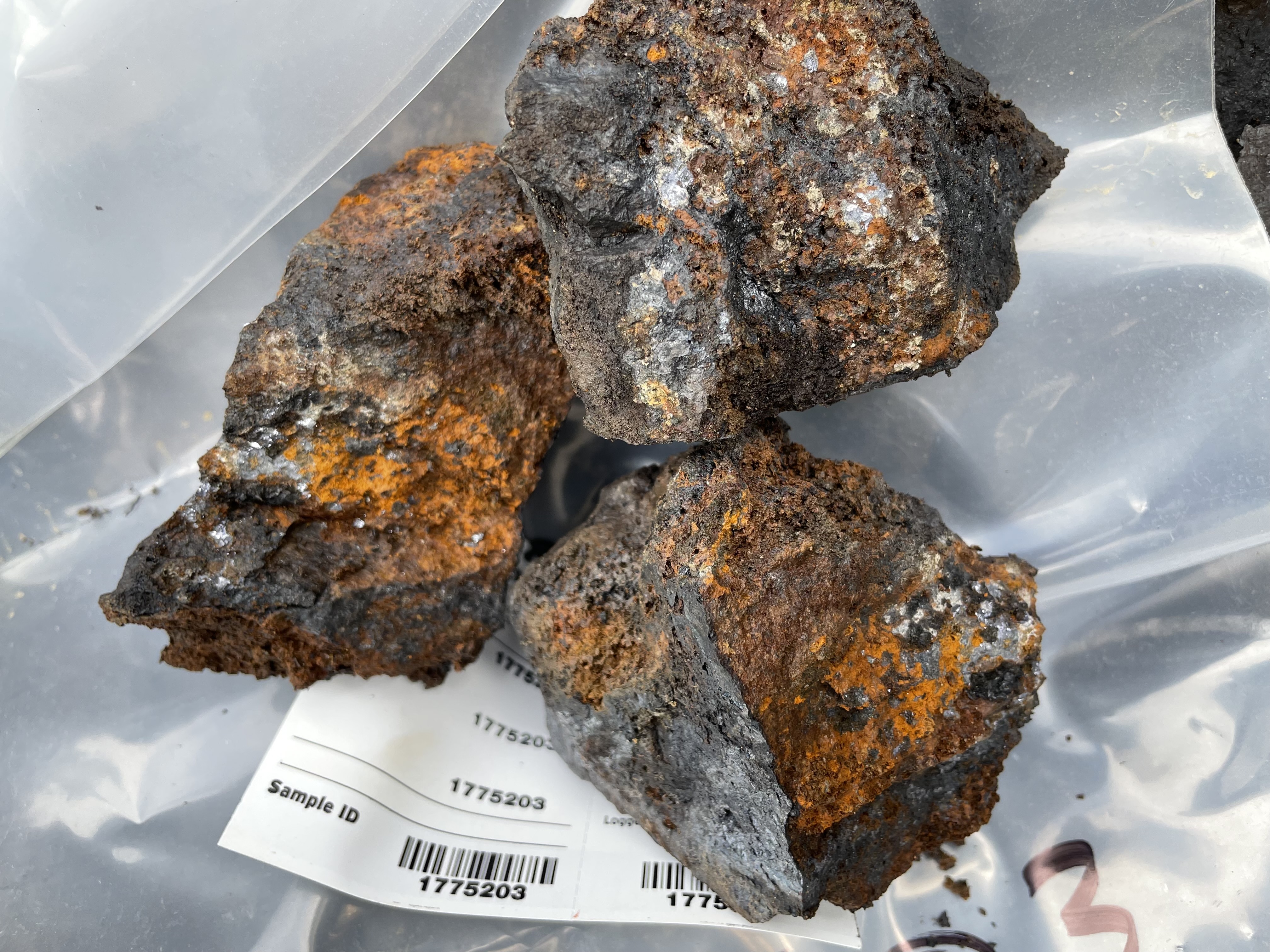
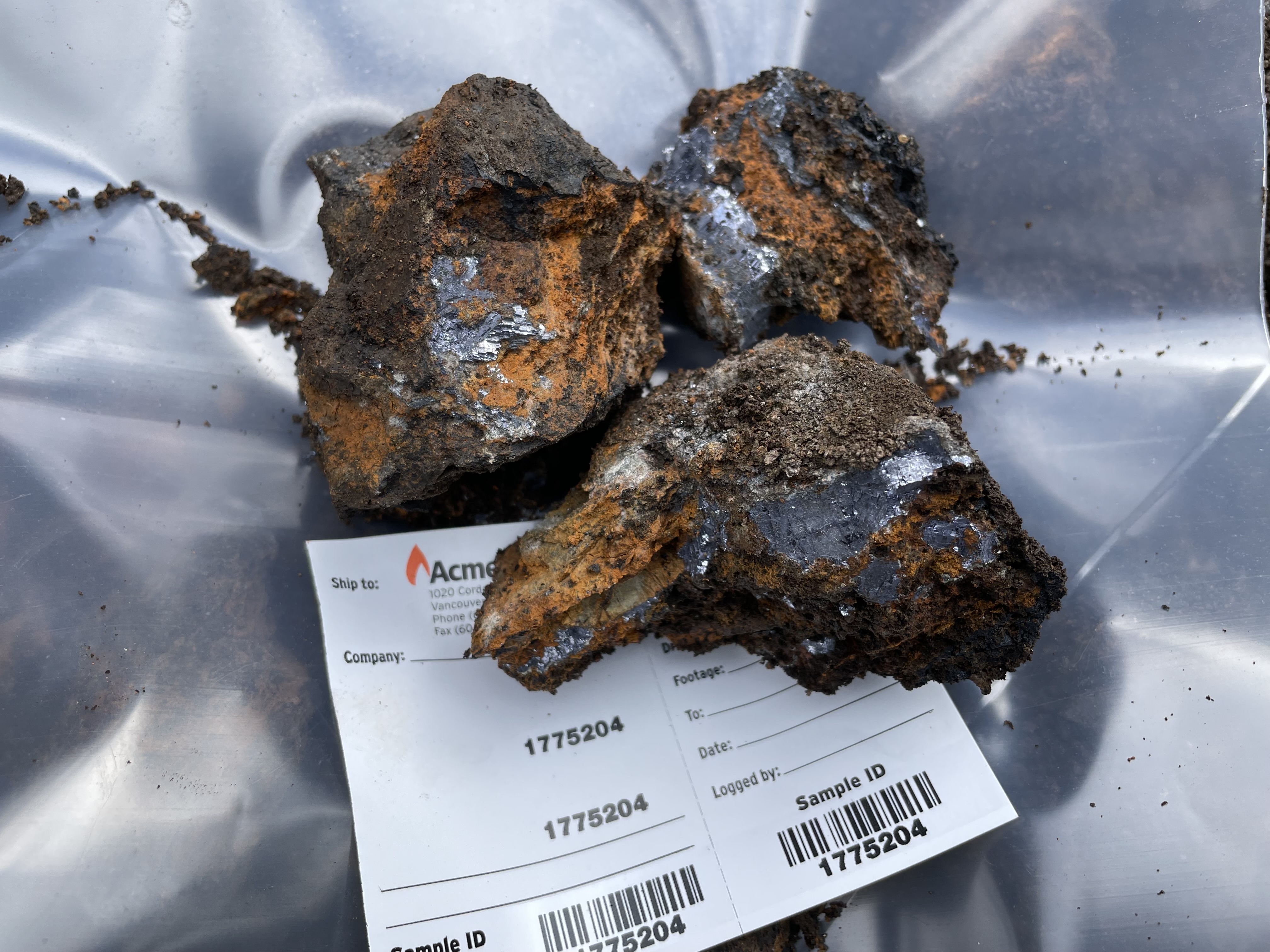
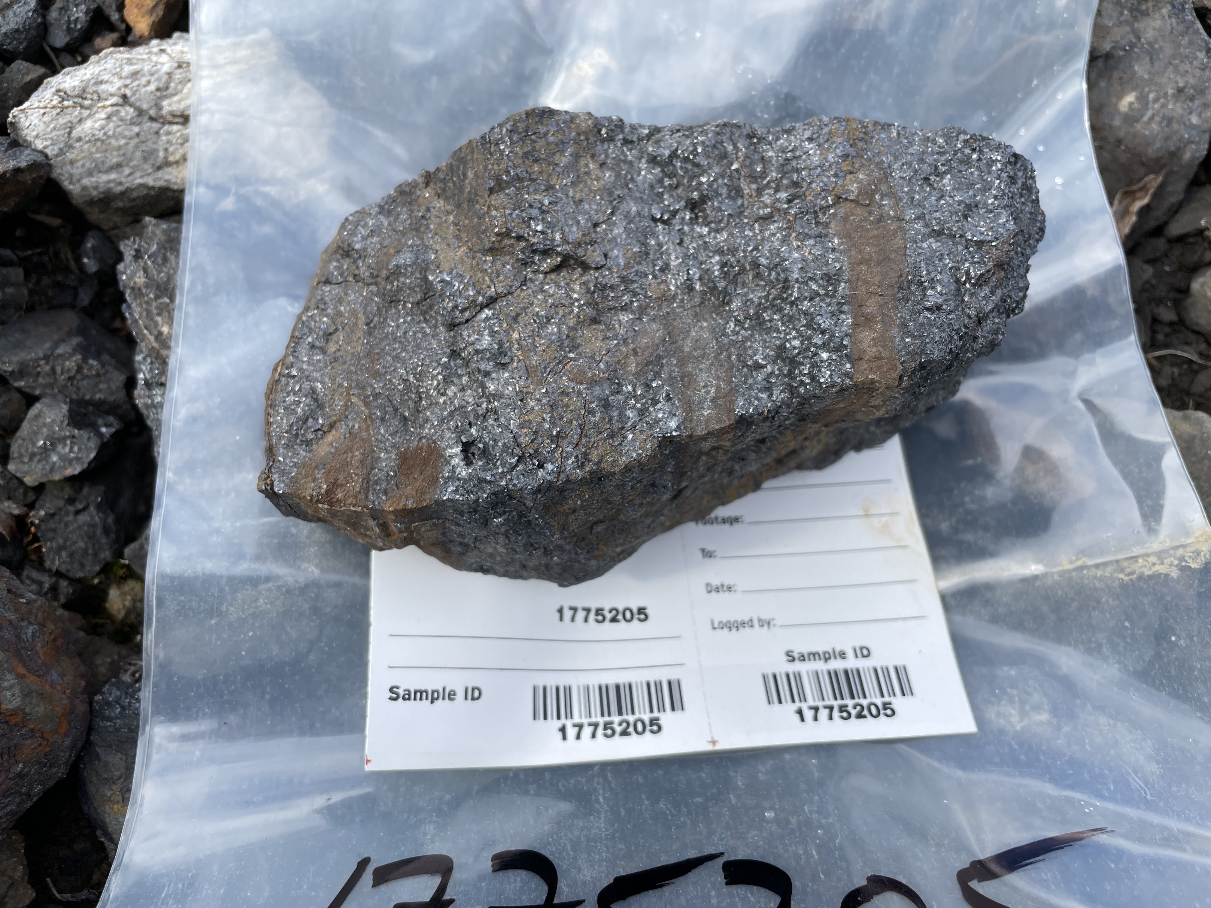
A total of 7 mineralized showings have been identified within the Amy property comprising of high-grade silver veins and silver-lead-zinc carbonate replacement occurrences. The primary showing comprises of the Amy Showing which is a developed prospect comprising of a galena, sphalerite, pyrite, arsenopyrite, argentite, and friebergite “manto” body formed by replacement mineralization in folded Cambro-Ordovician Kechika Group metasediments. The property has been subjected to geological mapping, geochemical sampling, geophysical surveys and 742 meters of drift/adit development and approximately 33 diamond drill holes focussed on a mineralized zone with a known strike length of 170 meters (BC Minfile 104O 004).
Other mineralized zones and areas within the Amy claims include:
- Cub Zone: a channel sample graded 1.88 oz/t (53.3 g/t) silver, 4.6% lead and 3.42% zinc;
- Zone 2: trenching produced two samples grading (i) 11.4 oz/t (323.2 g/t) silver, 10.5% lead and 13% zinc; and (ii) 150.5 oz/t (4266.7 g/t) silver, 47.4% lead and 1.9% zinc;
- NE anomaly: a soil anomaly measuring 500 by 300 meters where sampling have produced up to 9,200 g/t lead, 4,250 g/t zinc and >20 g/t silver and mineralized float found in the same area grading from 29.82-74.10 oz/t (845.4-1817.2 g/t) silver, 4.6-31.4% lead and 0.33-5.4% zinc;
- Breccia Zone: mineralized float sample graded 22.29 oz/t silver (631.9 g/t), 4.82% lead and 2.22% zinc; and,
- Unnamed Zone: mineralized float graded 47.1 oz/t (1,335.3 g/t) silver.
Highlights of the property include:
- Underground development: The underground development at the 4450 level comprises 202 feet of adit cross cut and 633 feet of drifting along or parallel to the vein structure. The work was done on the 4450 level which exposed the vein approximately 60 feet below the surface.
- Assays reported in the east drift from drilling indicated 19.08 oz/t silver, 0.64% lead and 7.78% zinc along a strike length of 35 feet with a width of 5 feet. Also, the underground development demonstrated that stoping blocks of at least 200 feet in length and a five-foot width exist at Amy. Average grade associated with these stoping blocks was 20.74 oz/t silver, 5.17% lead and 7.46% zinc.

- There is deemed potential for increasing the resource estimate at Amy from possible extensions of mineralization at depth and along strike in the immediate development area. Also, several other favorable areas are known to exist on the property and were yet to be explored.
- Preliminary metallurgical studies completed on a test sample grading 20.74 oz/t silver, 5.17% lead and 7.46% zinc provided recoveries of 90% silver, 90% lead and 92% zinc in conventional flotation test in combined zinc and lead concentrate cycles.
- Surface development and drilling at Amy to date includes:
- 300,000 line feet of geochemical, EM and magnetometer surveying;
- 31,000 cubic feet of bulldozer trenching; and
- 10,498 linear feet of diamond drilling.
- Geochemical studies identified four distinct anomalies. The Amy Prospect is one of these (anomaly #1). A trench in anomaly #2 had assay results ranging as high as 150.5 oz/t silver, 47.7% lead and 1.9% zinc and the majority of trenching results in anomalies 1, 2 and 3 ranged up to 13 oz/t silver, 10.5% lead and 17.2% zinc.
In summary, the area of prospectivity at the Amy Property is significant covering an area of over four kilometers in length and widths varying from 500 to 1,300 meters. Combined with the existence of a high-grade historical resource in a developed prospect that remains open to expansion and has the potential for possible similar discoveries, Amy has above average upside exploration potential.
Note: The information on these showings and related non 43-101 compliant historic resources are summarized by the BC Minfile and were included in information provided by the Prospector to the Company prior to acquisition. The Company has also not verified these results at this time nor conducted a field visit due to winter conditions.
- November 18, 2021
November 11, 2021